
 It wasn’t long until people owning property decided that this was a nice location for a full time residence and these full time residents soon petitioned the county to furnish them with a “decent” road. It was a focus of both Suncrest and the La Cresta Community centers that wrote about the needed improvement to the Suncrest grade. The county engineers found the best answer to that problem was to put in a completely new road in what was known at that time as Forester Creek Canyon.
When completed, the caretaker was instructed to place a sign at the foot of the old Suncrest grade so that it directed traffic toward the new La Cresta grade; another sign was to be placed at the foot of the new grade so that traffic coming from the old grade could see it as well as traffic from the highway.
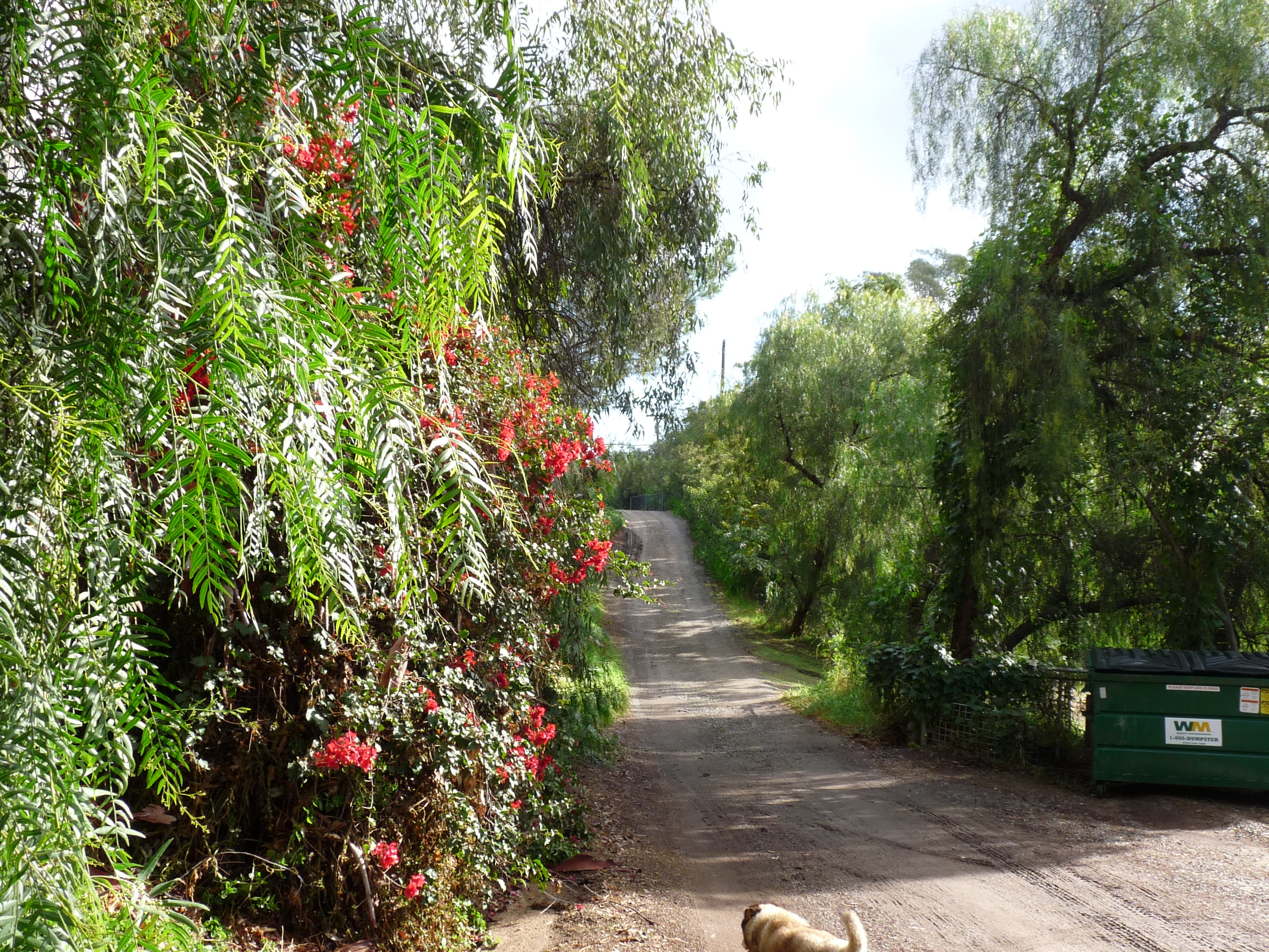
 The La Cresta Road was built in 1928. Even after being built, the La Cresta Road was a narrow, arduous road. Stanley Douglas wrote, “The Crest Road was called the ‘Heinz Grade’ because of 57 varieties of curves. There was a very large boulder at every curve. Speed was 15 mph. The road was very narrow – about 1 ½ cars wide with lots of chuck holes.”
Improvements to the Grade
Minutes from a Suncrest, Inc. meeting dated July 23, 1929 stated, “A new Suncrest high gear road (the La Cresta road), 20 feet wide costing $30,000 will be completed October 29, 1929.” In 1930 the WPA did indeed widen the road. The funding for this project was approximately $21,000. The county road department oiled the road in 1933 and ever since that time the County has maintained it.
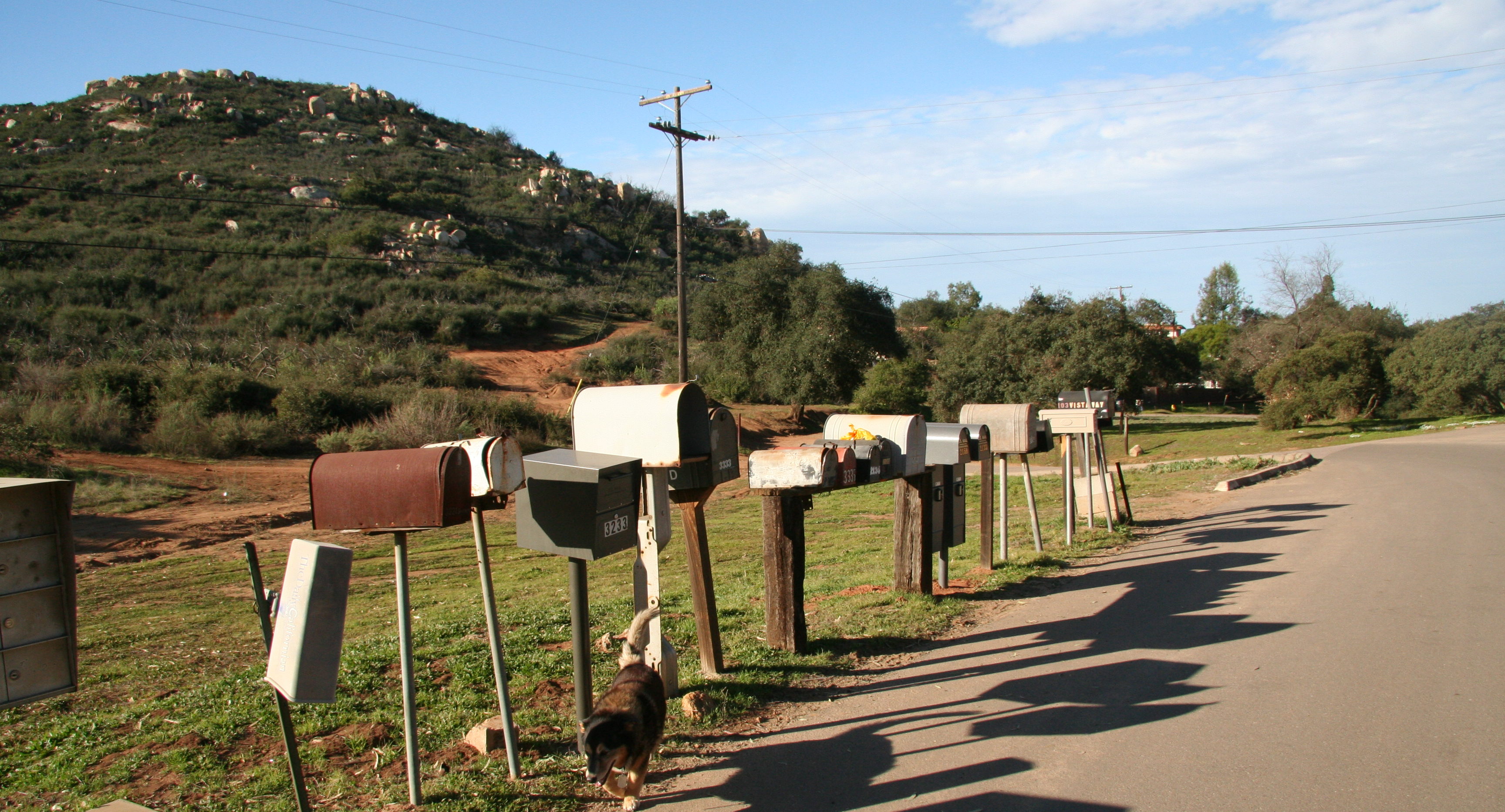
Naming the grade proved a challenge since a rivalry existed between Suncrest and La Cresta. Articles appearing in the local papers in 1929 and 1934 report on this road controversy. The official name as listed on county records for this road was “Highway No. 439.” Supervisor Aul sought to split the difference by reverting to the original name which was Forester Canyon. However, none approved. Residents of La Cresta called it the “La Cresta Road;” and the Suncrest folk continued to call it the “Suncrest Road.” The only sufferer was the mail carrier on the route who had to contend with two “Suncrest Roads” on his rural delivery route.
In 1962, the Crest Civic Group was working with the county supervisor to improve the roads in Suncrest. There was also a major widening and repaving of the La Cresta Road which was dedicated in 1966. A local paper reported the event and showed Kathy Reynolds, age 14, as queen of the event.
Straightening of the Crest Grade – 1970
In 1970, a committee approached the Road Commissioner regarding straightening the La Cresta grade and filling the chuck holes. They were informed that the allotment of money for the district was already spoken for. Stan Douglas recalled, “We contacted Supervisor Bird, but his hands were tied. The following year he did add us on the agenda before they started discussing the budget. We did our homework. We gathered photos of the accidents, some of which were very gruesome, as well as photos of the chuck holes. The cars usually hit a boulder or ran over the side.
“On the day of the hearing, a transit bus that held 50 people and 5 cars holding 25 people left Crest. We bought 75 pie tins and painted them orange with the word Crest in white. We hung them around our necks with ribbons. All the pictures were rolled up. We also had pictures taken from a bi-plane. We put them together to make one big picture of the whole area. We imprinted on this picture a route that could be used. We had a road engineer that helped us out at no cost. Arriving at the meeting the group stood in the back rather than sitting. Supervisor Bird looked up and said, ‘it looks like we have a delegation from Crest. I think before we start the meeting, we will give the Crest people a chance to present their case.’ We had a retired public speaker present.
“During the meeting, as he brought up the different facts, we unrolled the pictures which were very shocking. When we showed them our air pictures and the new route imprinted on it, the board was very impressed.
“They thanked us very much for our presentation. Two hours later we received a phone call that they had allotted us three million dollars- one million a year to be used on our road for three years. The road today is two and three lanes because of these efforts.”